Stark County’s First Measurable Snow? Details HERE!
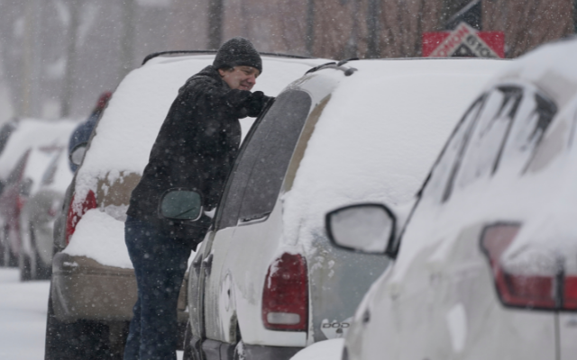
Of course this is Ohio and the weather can change on a dime! As of Monday morning it looks as if this lake effect snow event may bring some snow squalls to the County Area but nothing excessive. The weather alerts are for counties to the north of Stark. It looks as though the bigger problem is high winds that could create white out conditions. See below for the Accuweather forecast and details on the winter weather alerts:
ACCUWEATHER:
Today: a couple of snow squalls this afternoon, accumulating a coating to an inch; otherwise, a couple of showers of rain or snow this morning; cloudy. Squalls can bring whiteout conditions at times. High 41.
Tonight: a couple of snow squalls, accumulating a coating to an inch; considerable cloudiness and breezy; storm total snowfall 1-3 inches. Snow can cause poor visibility and slippery spots, leading to slow travel. Low 26.
Tomorrow: a snow shower in the morning; otherwise, chilly with partial sunshine. High 32.
Wednesday: periods of clouds and sun. High 41.
WHAT…Snow expected. Total snow accumulations of 2 to 7 inches. Winds gusting as high as 35 to 40 mph.
WHERE…Portions of northeast Ohio including Cuyahoga, Lake, Medina, Portage, Summit, Trumbull, and ashtabula lake shore
WHEN…From 1 PM this afternoon to 10 AM EST Tuesday.
IMPACTS…Travel could be very difficult. Areas of blowing snow could significantly reduce visibility overnight. The hazardous conditions could impact the evening commute.
ADDITIONAL DETAILS…Snow will intensify during the evening commute today and be heavy at times through late tonight. Snow will diminish from west to east on Tuesday morning. The higher snow amounts are expected inland from Lake Erie. Temperatures will fall into the 20s overnight with wind chills in the teens.